We understand that all of our visitors are on a journey, whether it be a planned vacation or just the call of the open road. Whatever that journey may be and wherever life may be taking you, Meadview RV Park has what you need when you need it. We know we might not be your destination but we are here for a stop on your way to that destination.
‟
The owners of this park are pretty amazing. They are incredibly dog friendly and really casual. Everyone staying at the park was friendly and full of adventurous stories.
Kim Paulus
‟
Nice little RV site, great if you wanna do the grand canyon early in the morning. The staff are super friendly. Definitely recommend this place
Carla
‟
The views, outstanding, the privacy, serenity, hiking and biking trails, perfect. The stars at night.... wow.
Abby Hume
‟
Very nice friendly place. Very close to GPAA mining claims and Grand Canyon.
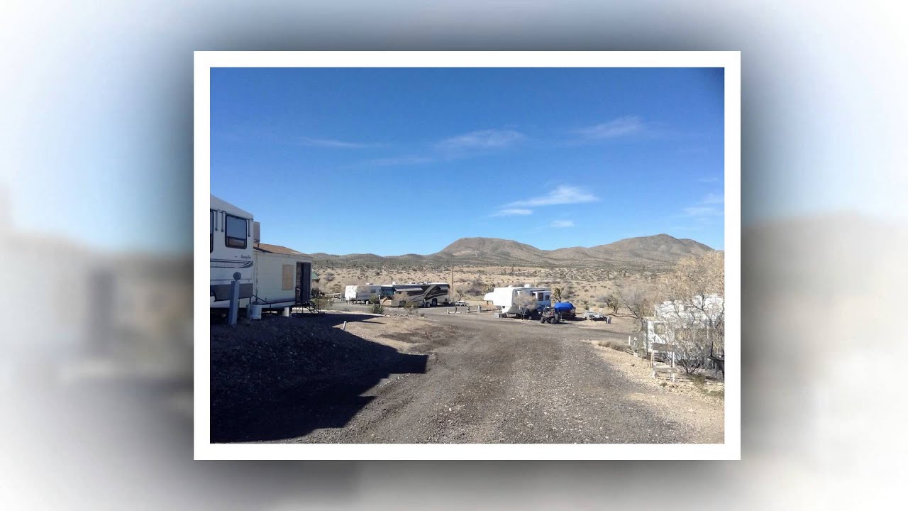
Our park is located just twenty-six miles from the West Rim of the Grand Canyon and is the closest RV Park to the Grand Canyon Overlook, home to the world-famous "Skywalk." It is conveniently located near Lake Mead, one of the largest man-made reservoirs in the United States. While you are here at Meadview RV Park you can take advantage of all the available water sports and outdoor activities.
PROPANE HOOK-UPS
LAUNDROMAT
SHOWER AND RESTROOMS
PET FRIENDLY
We now allow pets in our cabins, since we have become a "Pet-Friendly" establishment. However, a $100.00 Pet Deposit is required and a fee of $10.00 per night per pet.